Our Team
Our Team
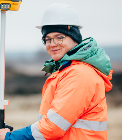
Our Geospatial Specialists
We collaborate closely to ensure that each survey is executed with the utmost accuracy and efficiency, while always prioritizing our clients’ needs.

Leornad Abraham
Project Manager

Aleesha Brown
Remote Sensing Specialist
Mike Hardson
Land Surveyor

Alex Maxwell
GIS Analyst

Evan Heas
Cartographer

Jacob Clarke
Geospatial Data Technician
Services
Monitoring & Maintenance of Geographic Data
Providing ongoing monitoring and updates to geospatial data to ensure it remains accurate and relevant over time.
Projects
Using time saving methods and technologies
We collaborate closely to ensure that each survey is executed with the utmost accuracy and efficiency, while always prioritizing our clients’ needs.

01
Urban Green Space Mapping Initiative
A project aimed at identifying and mapping green spaces in urban areas to promote biodiversity and enhance community well-being.
Read More
01
Urban Green Space Mapping Initiative
A project aimed at identifying and mapping green spaces in urban areas to promote biodiversity and enhance community well-being.
Read More
01
Urban Green Space Mapping Initiative
A project aimed at identifying and mapping green spaces in urban areas to promote biodiversity and enhance community well-being.
Read MoreMap Your Future
Get started with cutting-edge land surveying solutions
Experience the future of land surveying with our cutting-edge solutions. Request a quote today and elevate your projects with precision and accuracy!
Pricing Plan
Affordable Pricing Plans for Mapping Services
Explore our cost-effective options designed to meet diverse mapping needs without compromising quality.
Stater Plan
$320
/Month
Standard boundary surveying, and digital deliverables in PDF format.
Standard Plan
$1,200
/Month
We utilize the latest tools and techniques in digital mapping and surveying.
Premium Plan
$2,500
/Month
We prioritize your needs and ensure clear communication throughout the project.